Geolocation and remote monitoring for transport of marine animals
Agritech solution that integrates with the previous system for monitoring the transport of live marine animals by land.
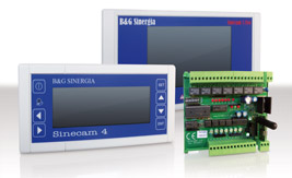
This App interfaces with GPS trackers and sensors in the tanks.
It allows you to verify the location, the speed of the vehicle, the water temperature and other conditions in real-time via a cloud platform accessible from any device.
User Experience (UX)

Before our activities
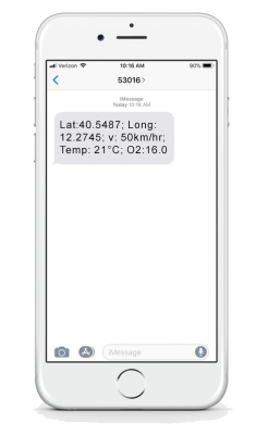
To locate the trucks and monitor the condition of the tanks, operators had to send an SMS request or wait to receive an SMS notification.
The system sent notification SMS to certain waypoints with the coordinates and temperature of the tanks. Monitoring was therefore on demand and not in real-time. Moreover, no logic of event history had been implemented and there was no remote monitoring application and settings.

After our activities
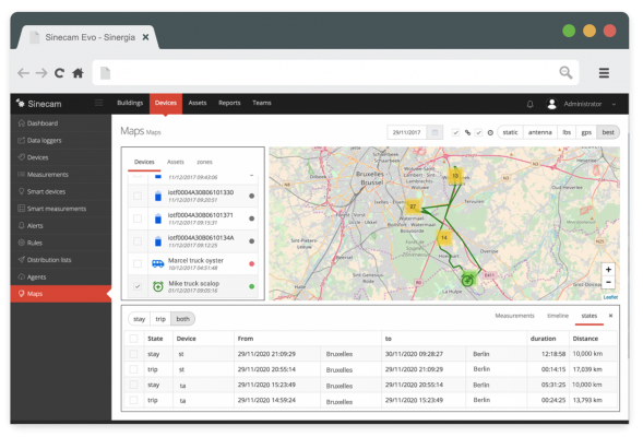
Operators can now control in real-time where trucks are located via a web application in the Cloud.
In the Cloud app, it is now possible to view on a map the route travelled by the logistic means and also to view the historical ones and to use analysis tools.
Now you can set different parameters of the conditions to be monitored of the tanks from any device such as smartphones, tablets and computers.
Strategic choices


Let's talk about your project!
We’ll find the easiest and effectiveness way to realize your project together.

